Ingar Campground
Last Updated Jan 2016
![]()
![]()
![]()
![]()
![]()
![]()
![]()
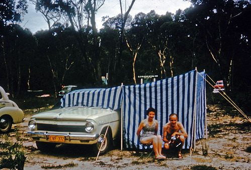
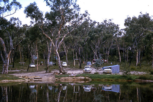
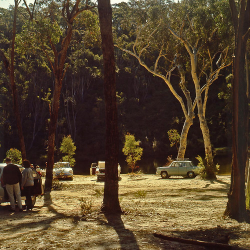
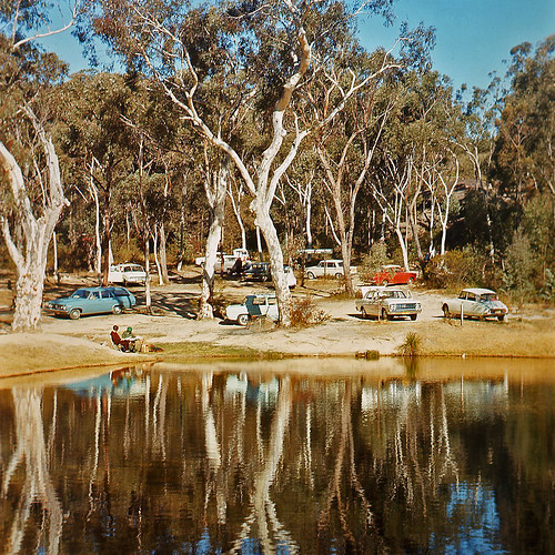
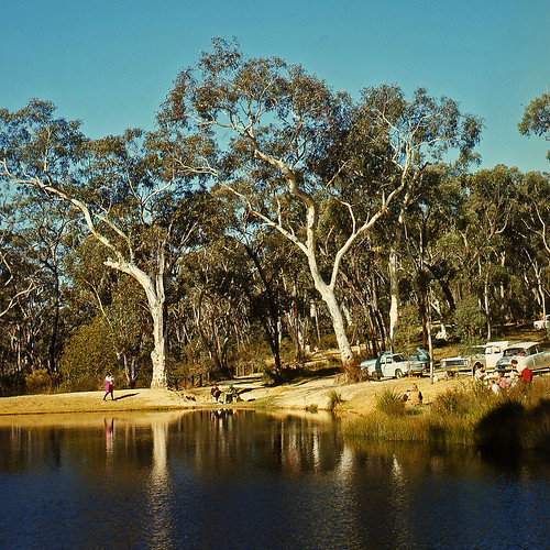
Among low bush and scribbly gums, this is a very attractive campsite close enough to Sydney for a quick nature fix.
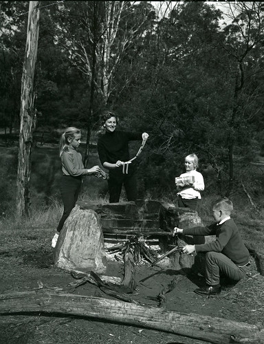
The camp sites are fairly level and mostly grass. There is a fire pit and picnic table at each campsite.
Look out for water dragons (suprising around the water) and at night you can spotlight for sugar gliders, possums and bandicoots. (Make sure you pack your food in containers or these critters will be into it).
Mountain Biking
There are many kilometres of forest trails leading from this campground. The roads are well maintained, and mainly sandy / gravel. Take care on the roads that are open to the public.
The dam on Ingar creek is a great swimming spot. If you are going to use water from Ingar Creek, make sure you treat or boil it first.
Facilities and activities at Ingar
- Number of sites:
-
9
- Camping Fees:
-
Free Campground
- Bookings:
-
This is a free camping area.
- How to book:
-
No bookings, first in best dressed.
- Toilets:
-
Longdrop or composting
- Pets:
-
Not allowed
- Water Availability:
-
Non-potable water may be available. Boil all water for at least 10 minutes before drinking.
- Camp fires:
-
Fires may be allowed in built fire places. Please check local fire bans and rules.
- Barbeques:
-
Wood barbeques are available. Bring firewood and check firebans.
- Swimming:
-
You are able to swim in the lake nearby.
- Fishing:
-
There is no fishing at or near this campsite.
- Picnic Tables:
-
Yes.
- Horse Riding:
-
No
- Canoeing / Kayaking:
-
There are canoeing and kayaking spots at or near this campsite
- More Information
Location information for Ingar
This campsite is accessable with regular 2wd vehicles.
Take Tablelands Road off the Great Western Highway at Wentworth falls and follow the signs. The first turn is to your left about 1.5km down this road. Follow this to the end.
There is a bout 10km of dirt road, which can get a little boggy in wet weather, and 4wd would be the best bet.
comments powered by Disqus
Home | Articles | FAQs | Terms | Privacy
© Net Reach Media Pty Ltd 2017
Visit our other sites
CairnsToCape.com.au
What to do, see, where to stay and the wildlife of this spectacular section of Far North Queensland
BushandBoat.com.au
Adventure tours in Port Douglas, Cape Tribulation and the Daintree Rainforest

