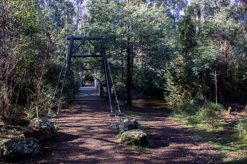
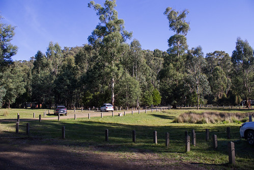
Murrindindi Scenic Reserve Campground
Last Updated Jan 2016 by Johan | Originally suggested by Peter
![]()
![]()
![]()
![]()
![]()
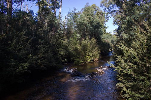
The Murrundindi Reserve is located towards the northern edge of the Toolangi State Forest and features excellent bush, river-side camping, 2 waterfalls, walking tracks and saw milling relics.
There are seven designated camping areas extending over 5k within the Murrindindi Reserve all well forested and shady, facilities tend to decrease the further upstream
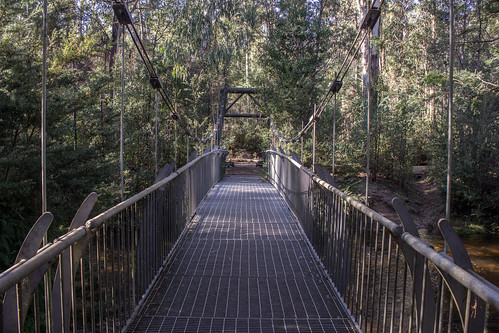
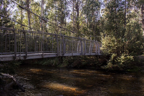
* Three (Suspension Bridge, Blackwood and Pine Tree) are virtually contiguous from the Information Board and honesty box, on river flats extending about 0.5k upstream. 50+ sites.
Rated 4.1/5
* SEC Bridge, 0.8k from the Information Board on river flats across the river - walk-in. 10+ sites.
Rated 4.4/5
* Water Gauge, 3.3k upstream from the Information Board, on river flats below the road 8+ sites.
Rated 4/5
* Ferns, 4.5k upstream from the Information Board, on hillside slopes down to the river 10+ sites
Rated 3.5/5
* Bull Creek 4.7k , upstream from the Information Board, on hillside slopes down to the river, 20+ sites.
Rated 4/5
Murrindindi camp fees are $5.50 per car/night, small bus $16.50 and large bus $27.50 per night. The Ranger verbally advised that a motor home is classed as a car.
Facilities and activities at Murrindindi Scenic Reserve
- Number of sites:
-
100
- Camping Fees:
-
$7.00 night/site/car (2016)
$3.30 per motorcycle night/site
- Bookings:
-
Self serve booth at campsite.
- How to book:
-
Honesty box at Info Board.
- Toilets:
-
Longdrop or composting
- Pets:
-
Not allowed
- Water Availability:
-
Non-potable water may be available. Boil all water for at least 10 minutes before drinking.
- Camp fires:
-
There are no built fireplaces in this camp ground, however it may be permisable to have a camp fire under certain conditions. Please check local fire restrictions and rules before lighting fires.
- Barbeques:
-
Wood barbeques are available. Bring firewood and check firebans.
- Swimming:
-
There are no known swimming spots at this campsite.
- Fishing:
-
There is no fishing at or near this campsite.
- Picnic Tables:
-
Yes.
- Horse Riding:
-
No
- Canoeing / Kayaking:
-
There is no canoeing or kayaking at or near this campsite
- More Information
Location information for Murrindindi Scenic Reserve
This campsite is in Toolangi State Forest
The Toolangi State Forest covers the northern slopes of the Great Dividing Range (Victoria Range) between the Melba [B300] and Maroondah [B360] Highways.
This site is accessable by caravans in good weather.
Access: 46k north of Lilydale via Melba Hwy [B300] to Devlin Bridge (20k south of Yea), then 5.2k east on the Murrindindi Rd, continue east then south 3.4k on the Wilhelmina Falls Rd (gravel) to the Information Board.
comments powered by Disqus
Home | Articles | FAQs | Terms | Privacy
© Net Reach Media Pty Ltd 2017
Visit our other sites
CairnsToCape.com.au
What to do, see, where to stay and the wildlife of this spectacular section of Far North Queensland
BushandBoat.com.au
Adventure tours in Port Douglas, Cape Tribulation and the Daintree Rainforest

